
Malo Island topographic map
Interactive map
Click on the map to display elevation.
About this map
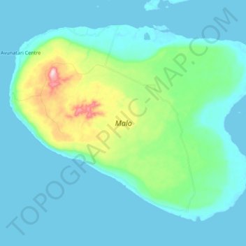
Name: Malo Island topographic map, elevation, terrain.
Location: Malo Island, Sanma, Vanuatu (-15.75447 167.08484 -15.62563 167.25199)
Average elevation: 50 m
Minimum elevation: 0 m
Maximum elevation: 316 m
Other topographic maps
Click on a map to view its topography, its elevation and its terrain.