
武陵山 topographic map
Interactive map
Click on the map to display elevation.
About this map
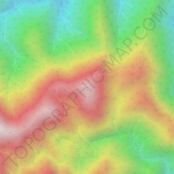
Name: 武陵山 topographic map, elevation, terrain.
Location: 武陵山, 秀林鄉, 花蓮縣, 972, 臺灣 (23.97351 121.34570 23.97361 121.34580)
Average elevation: 2,086 m
Minimum elevation: 1,607 m
Maximum elevation: 2,536 m
Other topographic maps
Click on a map to view its topography, its elevation and its terrain.