
四公里 topographic map
Interactive map
Click on the map to display elevation.
About this map
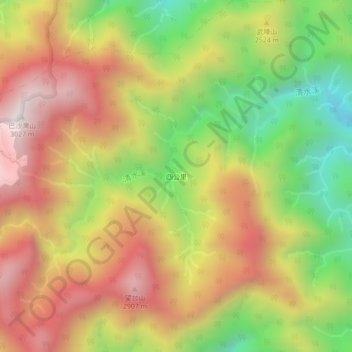
Name: 四公里 topographic map, elevation, terrain.
Location: 四公里, 文蘭村, 秀林鄉, 花蓮縣, 972, 臺灣 (23.93610 121.31450 23.97610 121.35450)
Average elevation: 2,439 m
Minimum elevation: 1,833 m
Maximum elevation: 2,994 m
Other topographic maps
Click on a map to view its topography, its elevation and its terrain.