
Ujalaiwadi topographic map
Interactive map
Click on the map to display elevation.
About this map
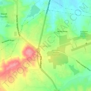
Name: Ujalaiwadi topographic map, elevation, terrain.
Location: Ujalaiwadi, Kolhapur, Maharashtra, 416004, India (16.64463 74.25069 16.68463 74.29069)
Average elevation: 602 m
Minimum elevation: 557 m
Maximum elevation: 663 m
Other topographic maps
Click on a map to view its topography, its elevation and its terrain.
Kerle
India > Maharashtra > Kolhapur > Kerle
Kerle, Kolhapur, Kolhapur district, Maharashtra, India
Average elevation: 599 m
Beed
India > Maharashtra > Kolhapur > Beed
Beed, Kolhapur, Kolhapur district, Maharashtra, India
Average elevation: 555 m