
Moilsehu topographic map
Interactive map
Click on the map to display elevation.
About this map
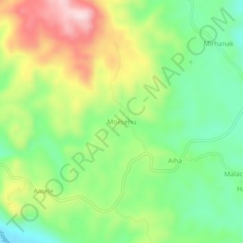
Name: Moilsehu topographic map, elevation, terrain.
Location: Moilsehu, Madang, Momase Region, Papua New Guinea (-5.28729 145.65819 -5.24729 145.69819)
Average elevation: 146 m
Minimum elevation: 13 m
Maximum elevation: 342 m
Other topographic maps
Click on a map to view its topography, its elevation and its terrain.
Karkar Island
Karkar Island, Madang, Momase Region, Papua New Guinea
Average elevation: 228 m