
Bangou topographic map
Interactive map
Click on the map to display elevation.
About this map
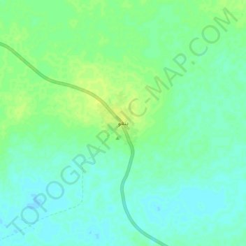
Name: Bangou topographic map, elevation, terrain.
Location: Bangou, Hodh Ech Chargui, Mauritania (16.23847 -7.02952 16.31847 -6.94952)
Average elevation: 284 m
Minimum elevation: 278 m
Maximum elevation: 291 m
Other topographic maps
Click on a map to view its topography, its elevation and its terrain.