
Amourj topographic map
Interactive map
Click on the map to display elevation.
About this map
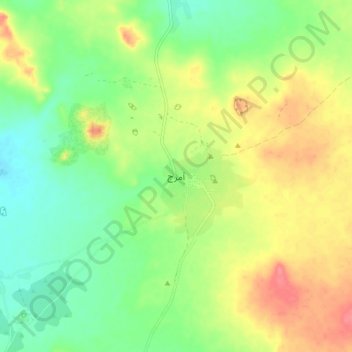
Name: Amourj topographic map, elevation, terrain.
Location: Amourj, Hodh Ech Chargui, Mauritania (16.06980 -7.25850 16.14980 -7.17850)
Average elevation: 288 m
Minimum elevation: 259 m
Maximum elevation: 325 m
Other topographic maps
Click on a map to view its topography, its elevation and its terrain.