
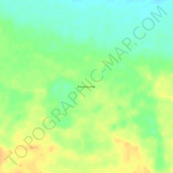
Kourouma topographic map
Interactive map
Click on the map to display elevation.
About this map
Name: Kourouma topographic map, elevation, terrain.
Location: Kourouma, Hodh Ech Chargui, Mauritania (17.33000 -7.57000 17.37000 -7.53000)
Average elevation: 216 m
Minimum elevation: 201 m
Maximum elevation: 231 m
Other topographic maps
Click on a map to view its topography, its elevation and its terrain.