
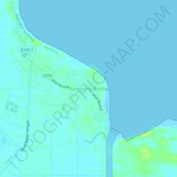
Kampung Buntal topographic map
Interactive map
Click on the map to display elevation.
About this map
Name: Kampung Buntal topographic map, elevation, terrain.
Location: Kampung Buntal, Kuching, Kuching Division, Sarawak, Malaysia (1.68139 110.34855 1.72139 110.38855)
Average elevation: 2 m
Minimum elevation: -1 m
Maximum elevation: 19 m
Other topographic maps
Click on a map to view its topography, its elevation and its terrain.