Geolocate

Waza topographic map

Interactive map

Click on the map to display elevation.

About this map

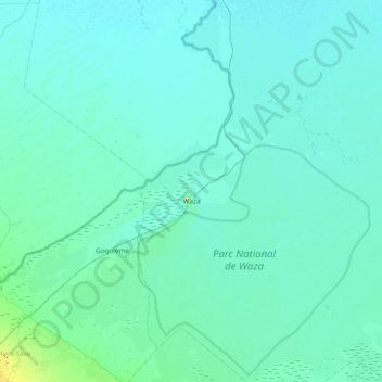
Name: Waza topographic map, elevation, terrain.

Location: Waza, Logone-et-Chari, Far-North, Cameroon (11.04771 14.46051 11.79194 14.96551)

Average elevation: 306 m

Minimum elevation: 294 m

Maximum elevation: 502 m

Other topographic maps

Click on a map to view its topography, its elevation and its terrain.

Sao

Cameroon > Far-North > Logone-et-Chari > Goulfey

Sao, Goulfey, Logone-et-Chari, Far-North, Cameroon

Average elevation: 293 m

Mikeu

Cameroon > Far-North > Logone-et-Chari > Logone-Birni

Mikeu, Logone-Birni, Logone-et-Chari, Far-North, Cameroon

Average elevation: 300 m

Kousséri

Cameroon > Far-North > Logone-et-Chari

Kousséri, Logone-et-Chari, Far-North, Cameroon

Average elevation: 295 m