
马头镇 topographic map
Interactive map
Click on the map to display elevation.
About this map
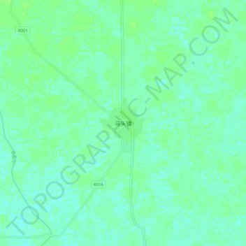
Name: 马头镇 topographic map, elevation, terrain.
Location: 马头镇, 太康县, 周口市, 河南省, 中国 (34.13490 115.00200 34.21490 115.08200)
Average elevation: 52 m
Minimum elevation: 48 m
Maximum elevation: 55 m
Other topographic maps
Click on a map to view its topography, its elevation and its terrain.