
叶寨 topographic map
Interactive map
Click on the map to display elevation.
About this map
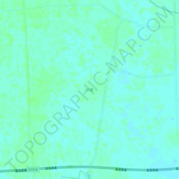
Name: 叶寨 topographic map, elevation, terrain.
Location: 叶寨, 太康县, 周口市, 河南省, 中国 (33.96826 114.65343 34.00826 114.69343)
Average elevation: 53 m
Minimum elevation: 50 m
Maximum elevation: 57 m
Other topographic maps
Click on a map to view its topography, its elevation and its terrain.