
太康县 topographic map
Interactive map
Click on the map to display elevation.
About this map
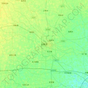
Name: 太康县 topographic map, elevation, terrain.
Location: 太康县, 周口市, 河南省, 中国 (33.90646 114.67239 34.22646 114.99239)
Average elevation: 53 m
Minimum elevation: 46 m
Maximum elevation: 59 m
位于华北平原腹地,地势平坦,为黄河水淤积平原地形。
Other topographic maps
Click on a map to view its topography, its elevation and its terrain.