Geolocate

Felton topographic map

Click on the map to display elevation.

About this map
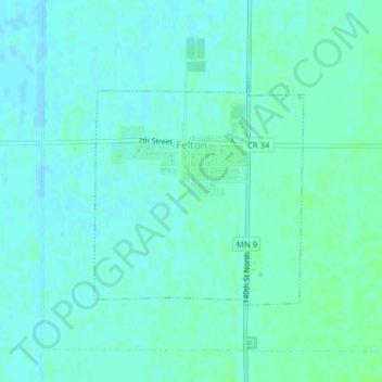
Name: Felton topographic map, elevation, terrain.

Location: Felton, Clay County, Minnesota, United States (47.06720 -96.51647 47.08335 -96.49470)

Average elevation: 279 m

Minimum elevation: 276 m

Maximum elevation: 283 m

Other topographic maps

Click on a map to view its topography, its elevation and its terrain.
Ruthruff

United States > Minnesota > Clay County

Average elevation: 279 m

Gear up for your next adventure:

❄️Walking Crampons - Added traction for icy slopes and winter peak bagging
📸Action Camera Chest Mounts - Record your ascent following topographic paths hands-free
🔦Head Torches - Hands-free lighting for hiking and camping
🧼Biodegradable Soap - Leave-no-trace hygiene for multi-day mountain treks
🔦LED Camping Lanterns - Illumination for reading maps inside your tent at night

As an Amazon Associate, this site earns from qualifying purchases at no extra cost to you.