
Sarıalan topographic map
Interactive map
Click on the map to display elevation.
About this map
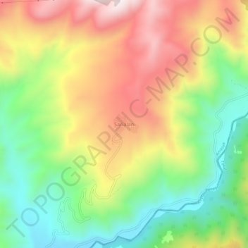
Name: Sarıalan topographic map, elevation, terrain.
Location: Sarıalan, Amasya, Black Sea Region, Turkey (40.49417 36.20208 40.53417 36.24208)
Average elevation: 982 m
Minimum elevation: 665 m
Maximum elevation: 1,355 m
Other topographic maps
Click on a map to view its topography, its elevation and its terrain.