
Bağlıca topographic map
Interactive map
Click on the map to display elevation.
About this map
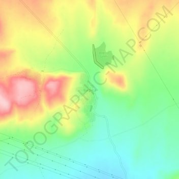
Name: Bağlıca topographic map, elevation, terrain.
Location: Bağlıca, Amasya, Black Sea Region, Turkey (40.58664 35.66509 40.62664 35.70509)
Average elevation: 521 m
Minimum elevation: 441 m
Maximum elevation: 630 m
Other topographic maps
Click on a map to view its topography, its elevation and its terrain.