
Ashwell topographic map
Click on the map to display elevation.
About this map
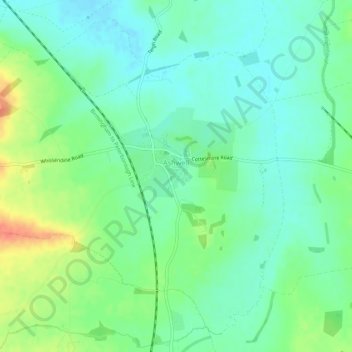
Name: Ashwell topographic map, elevation, terrain.
Location: Ashwell, Rutland, England, United Kingdom (52.69747 -0.75593 52.72708 -0.70172)
Average elevation: 111 m
Minimum elevation: 94 m
Maximum elevation: 145 m
Rutland trails, hiking, mountain biking, running and outdoor activities
Other topographic maps
Click on a map to view its topography, its elevation and its terrain.