
Batiri Village topographic map
Interactive map
Click on the map to display elevation.
About this map
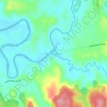
Name: Batiri Village topographic map, elevation, terrain.
Location: Batiri Village, Cakaudrove, Northern, Fiji (-16.62565 179.01505 -16.58565 179.05505)
Average elevation: 39 m
Minimum elevation: 0 m
Maximum elevation: 146 m
Other topographic maps
Click on a map to view its topography, its elevation and its terrain.