
Croix de Fer topographic map
Interactive map
Click on the map to display elevation.
About this map
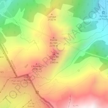
Name: Croix de Fer topographic map, elevation, terrain.
Location: Croix de Fer, Trient, Martigny, Valais, 1929, Suisse (46.03620 6.97609 46.03630 6.97619)
Average elevation: 1,971 m
Minimum elevation: 1,315 m
Maximum elevation: 2,606 m
Other topographic maps
Click on a map to view its topography, its elevation and its terrain.
Gite d'etape du Peuty (Dortoir Peuty)
Gite d'etape du Peuty (Dortoir Peuty), Le Peuty, Trient, Martigny, Valais, 1929, Suisse
Average elevation: 1,711 m