
Gite d'etape du Peuty (Dortoir Peuty) topographic map
Interactive map
Click on the map to display elevation.
About this map
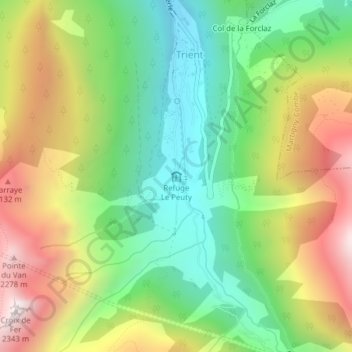
Name: Gite d'etape du Peuty (Dortoir Peuty) topographic map, elevation, terrain.
Average elevation: 1,711 m
Minimum elevation: 1,272 m
Maximum elevation: 2,328 m
Other topographic maps
Click on a map to view its topography, its elevation and its terrain.
Croix de Fer
Croix de Fer, Trient, Martigny, Valais, 1929, Suisse
Average elevation: 1,971 m