
Kullorsuaq topographic map
Interactive map
Click on the map to display elevation.
About this map
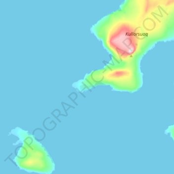
Name: Kullorsuaq topographic map, elevation, terrain.
Location: Kullorsuaq, Avannaata, Greenland (74.55907 -57.23982 74.59907 -57.19982)
Average elevation: 28 m
Minimum elevation: -3 m
Maximum elevation: 420 m
Other topographic maps
Click on a map to view its topography, its elevation and its terrain.