
Siorapaluk topographic map
Interactive map
Click on the map to display elevation.
About this map
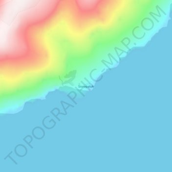
Name: Siorapaluk topographic map, elevation, terrain.
Location: Siorapaluk, Avannaata, Greenland (77.76543 -70.65338 77.80543 -70.61338)
Average elevation: 169 m
Minimum elevation: 0 m
Maximum elevation: 870 m
Other topographic maps
Click on a map to view its topography, its elevation and its terrain.