
人民公园 topographic map
Interactive map
Click on the map to display elevation.
About this map
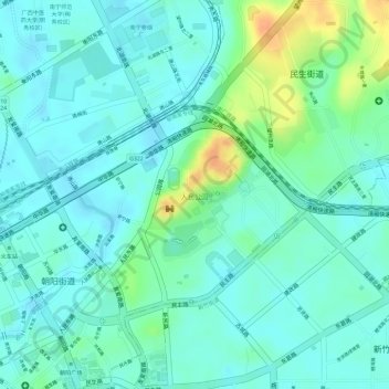
Name: 人民公园 topographic map, elevation, terrain.
Location: 人民公园, 兴宁区, 南宁市, 广西壮族自治区, 中国 (22.82668 108.32276 22.83601 108.33161)
Average elevation: 88 m
Minimum elevation: 76 m
Maximum elevation: 119 m
Other topographic maps
Click on a map to view its topography, its elevation and its terrain.