
福建园街道 topographic map
Interactive map
Click on the map to display elevation.
About this map
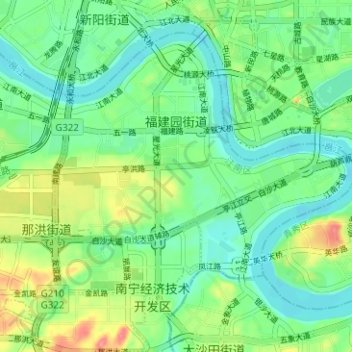
Name: 福建园街道 topographic map, elevation, terrain.
Location: 福建园街道, 江南区, 南宁市, 广西壮族自治区, 中国 (22.76659 108.27994 22.81385 108.34267)
Average elevation: 84 m
Minimum elevation: 59 m
Maximum elevation: 135 m
Other topographic maps
Click on a map to view its topography, its elevation and its terrain.