
镇宁 topographic map
Interactive map
Click on the map to display elevation.
About this map
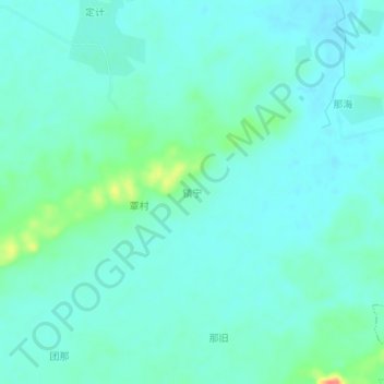
Name: 镇宁 topographic map, elevation, terrain.
Location: 镇宁, 南宁市, 广西壮族自治区, 中国 (22.50820 108.11600 22.54820 108.15600)
Average elevation: 131 m
Minimum elevation: 119 m
Maximum elevation: 181 m
Other topographic maps
Click on a map to view its topography, its elevation and its terrain.