Geolocate

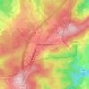
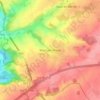
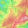
Amay topographic map

Click on the map to display elevation.

About this map
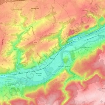
Name: Amay topographic map, elevation, terrain.

Location: Amay, Huy, Liège, Wallonia, 4540, Belgium (50.51631 5.26189 50.59187 5.35023)

Average elevation: 155 m

Minimum elevation: 47 m

Maximum elevation: 245 m

Other topographic maps

Click on a map to view its topography, its elevation and its terrain.

Oha

Belgium > Liège > Huy > Wanze

Average elevation: 117 m

Ville

Belgium > Liège > Huy

Average elevation: 260 m

Werbomont

Belgium > Liège > Huy

Average elevation: 402 m

Villers-le-Temple

Belgium > Liège > Huy

Average elevation: 237 m

Gives

Belgium > Liège > Huy

Average elevation: 144 m

Vierset-Barse

Belgium > Liège > Huy

Average elevation: 233 m

Warnant-Dreye

Belgium > Liège > Huy

Average elevation: 165 m

Scry

Belgium > Liège > Huy

Average elevation: 245 m

Grand-Marchin

Belgium > Liège > Huy > Marchin

Average elevation: 225 m

Les Gottes

Belgium > Liège > Huy

Average elevation: 231 m

Bosson

Belgium > Liège > Huy > Werbomont

Average elevation: 398 m

Trou Dubois

Belgium > Liège > Huy > Wanze > Moha > Le Taillis

Average elevation: 130 m

Anthisnes

Belgium > Liège > Huy > Anthisnes

Average elevation: 244 m

Lamalle

Belgium > Liège > Huy > Wanze

Average elevation: 126 m

Gear up for your next adventure:

🥾Women's Waterproof Hiking Boots - High-performance trekking boots designed for all-weather comfort
🧢Thermal Beanie Hats - Prevent heat loss from the head in windy summit conditions
🐕Dog Hiking Gear - Equipment for hiking safely with dogs
🧺Microfibre Travel Towels - Fast-drying and compact towels for wild swimming and camping
⛺Camping Shelters - Emergency and lightweight shelters for outdoor use

As an Amazon Associate, this site earns from qualifying purchases at no extra cost to you.