
神戸 topographic map
Interactive map
Click on the map to display elevation.
About this map
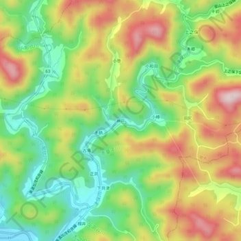
Name: 神戸 topographic map, elevation, terrain.
Location: 神戸, 關市, 岐阜县, 中部地方, 日本 (35.60930 137.02928 35.64930 137.06928)
Average elevation: 313 m
Minimum elevation: 147 m
Maximum elevation: 519 m
Other topographic maps
Click on a map to view its topography, its elevation and its terrain.