
井桁 topographic map
Interactive map
Click on the map to display elevation.
About this map
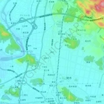
Name: 井桁 topographic map, elevation, terrain.
Location: 井桁, 關市, 岐阜县, 中部地方, 501-3894, 日本 (35.48573 136.89018 35.52573 136.93018)
Average elevation: 71 m
Minimum elevation: 44 m
Maximum elevation: 220 m
Other topographic maps
Click on a map to view its topography, its elevation and its terrain.