
Fleckney topographic map
Click on the map to display elevation.
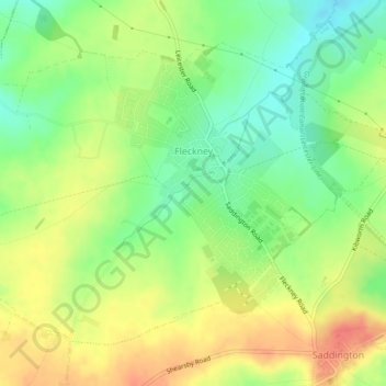
About this map
Name: Fleckney topographic map, elevation, terrain.
Location: Fleckney, Harborough, Leicestershire, England, United Kingdom (52.52250 -1.07590 52.54400 -1.03085)
Average elevation: 121 m
Minimum elevation: 94 m
Maximum elevation: 149 m
Leicestershire trails, hiking, mountain biking, running and outdoor activities
Other topographic maps
Click on a map to view its topography, its elevation and its terrain.
Halstead
United Kingdom > England > Leicestershire > Harborough > Tilton on the Hill > Halstead
Average elevation: 179 m
Saddington Reservoir
United Kingdom > England > Leicestershire > Harborough > Saddington
Average elevation: 128 m
Adrian's Spinney
United Kingdom > England > Leicestershire > Harborough > Stoughton
Average elevation: 113 m