Geolocate

Apache topographic map

Click on the map to display elevation.

About this map
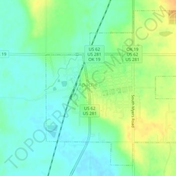
Name: Apache topographic map, elevation, terrain.

Location: Apache, Caddo County, Oklahoma, United States (34.88028 -98.37437 34.90589 -98.33898)

Average elevation: 390 m

Minimum elevation: 378 m

Maximum elevation: 408 m

Other topographic maps

Click on a map to view its topography, its elevation and its terrain.

Nowhere

United States > Oklahoma > Caddo County

Average elevation: 411 m

Three-Way Corner

United States > Oklahoma > Caddo County

Average elevation: 467 m

Gear up for your next adventure:

🧗Locking Carabiners - Secure gear to your pack or for light technical use
🧷Tenacious Repair Tape - Instant fix for torn tents, jackets, or dry bags
🧭Orienteering Compasses - Accurate compasses for map-based navigation
🔋Power Banks - Portable chargers for long outdoor trips
🌄Compact Monoculars - Lightweight optics for hiking

As an Amazon Associate, this site earns from qualifying purchases at no extra cost to you.