
Cellarengo topographic map
Interactive map
Click on the map to display elevation.
About this map
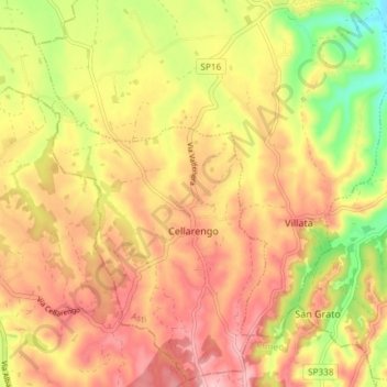
Name: Cellarengo topographic map, elevation, terrain.
Location: Cellarengo, Asti, Piémont, Italie (44.84634 7.88502 44.89709 7.95885)
Average elevation: 289 m
Minimum elevation: 195 m
Maximum elevation: 355 m
Other topographic maps
Click on a map to view its topography, its elevation and its terrain.