
Scurzolengo topographic map
Interactive map
Click on the map to display elevation.
About this map
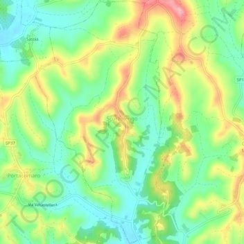
Name: Scurzolengo topographic map, elevation, terrain.
Location: Scurzolengo, Asti, Piémont, Italie (44.94738 8.26041 44.98312 8.28830)
Average elevation: 198 m
Minimum elevation: 145 m
Maximum elevation: 278 m
Other topographic maps
Click on a map to view its topography, its elevation and its terrain.