
Vettisfossen topographic map
Interactive map
Click on the map to display elevation.
About this map
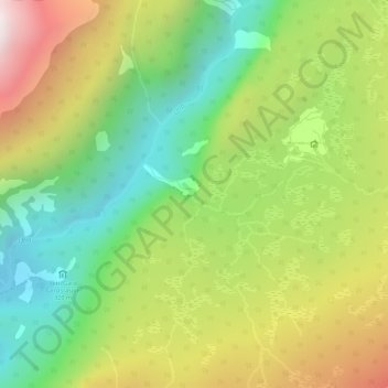
Name: Vettisfossen topographic map, elevation, terrain.
Location: Vettisfossen, Årdal, Vestland, Norway (61.37994 7.94592 61.38004 7.94602)
Average elevation: 666 m
Minimum elevation: 219 m
Maximum elevation: 1,281 m
Other topographic maps
Click on a map to view its topography, its elevation and its terrain.