
上思县 topographic map
Interactive map
Click on the map to display elevation.
About this map
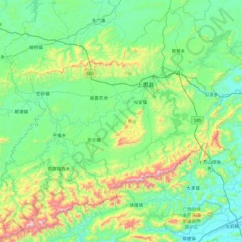
Name: 上思县 topographic map, elevation, terrain.
Location: 上思县, 防城港市, 广西壮族自治区, 中国 (21.72736 107.53858 22.37465 108.27722)
Average elevation: 285 m
Minimum elevation: 15 m
Maximum elevation: 1,394 m
Other topographic maps
Click on a map to view its topography, its elevation and its terrain.