
象山区 topographic map
Interactive map
Click on the map to display elevation.
About this map
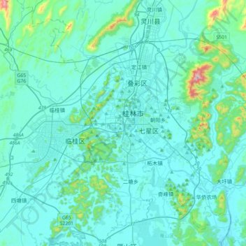
Name: 象山区 topographic map, elevation, terrain.
Location: 象山区, 桂林市, 广西壮族自治区, 541002, 中国 (25.10460 110.11654 25.42460 110.43654)
Average elevation: 198 m
Minimum elevation: 129 m
Maximum elevation: 859 m
Other topographic maps
Click on a map to view its topography, its elevation and its terrain.