
Lac Est topographic map
Interactive map
Click on the map to display elevation.
About this map
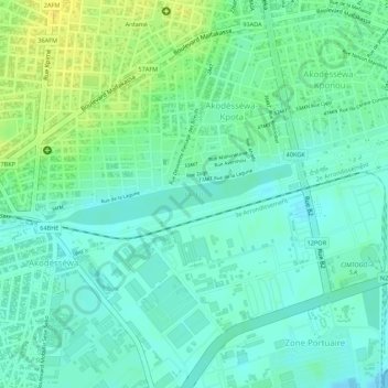
Name: Lac Est topographic map, elevation, terrain.
Location: Lac Est, Lomé, 2e Arrondissement, Togo (6.15627 1.26734 6.16051 1.28407)
Average elevation: 10 m
Minimum elevation: -1 m
Maximum elevation: 23 m
Other topographic maps
Click on a map to view its topography, its elevation and its terrain.