
Church Hougham topographic map
Interactive map
Click on the map to display elevation.
About this map
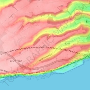
Name: Church Hougham topographic map, elevation, terrain.
Average elevation: 89 m
Minimum elevation: 0 m
Maximum elevation: 147 m
Kent trails, hiking, mountain biking, running and outdoor activities
Other topographic maps
Click on a map to view its topography, its elevation and its terrain.
White Cliffs of Dover
United Kingdom > England > Kent > Dover > St. Margaret's at Cliffe
Average elevation: 49 m
St Margaret's Bay
United Kingdom > England > Kent > Dover > St. Margaret's at Cliffe
Average elevation: 38 m