
石奶奶庙村 topographic map
Interactive map
Click on the map to display elevation.
About this map
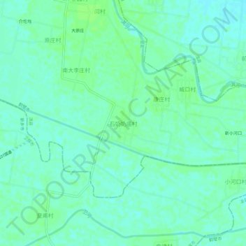
Name: 石奶奶庙村 topographic map, elevation, terrain.
Location: 石奶奶庙村, 鹤壁市, 河南省, 中国 (35.48854 114.23696 35.52854 114.27696)
Average elevation: 67 m
Minimum elevation: 63 m
Maximum elevation: 71 m
Other topographic maps
Click on a map to view its topography, its elevation and its terrain.