
Sungai Telor topographic map
Interactive map
Click on the map to display elevation.
About this map
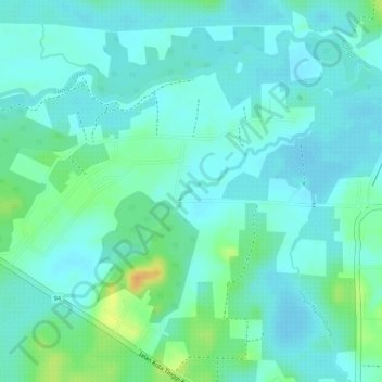
Name: Sungai Telor topographic map, elevation, terrain.
Location: Sungai Telor, Kota Tinggi, Johor, Malaysia (1.72535 103.80282 1.74352 103.82679)
Average elevation: 12 m
Minimum elevation: 2 m
Maximum elevation: 38 m
Other topographic maps
Click on a map to view its topography, its elevation and its terrain.