
1296 topographic map
Interactive map
Click on the map to display elevation.
About this map
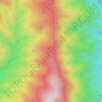
Name: 1296 topographic map, elevation, terrain.
Location: 1296, 강릉시, Gangwon, Coreia do Sul (37.79157 128.60003 37.79167 128.60013)
Average elevation: 1,015 m
Minimum elevation: 608 m
Maximum elevation: 1,413 m
Other topographic maps
Click on a map to view its topography, its elevation and its terrain.