
1114 topographic map
Interactive map
Click on the map to display elevation.
About this map
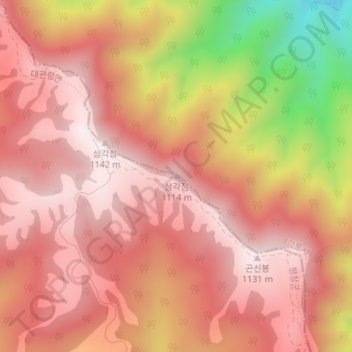
Name: 1114 topographic map, elevation, terrain.
Location: 1114, 강릉시, Gangwon, Coreia do Sul (37.74753 128.73170 37.74763 128.73180)
Average elevation: 953 m
Minimum elevation: 534 m
Maximum elevation: 1,138 m
Other topographic maps
Click on a map to view its topography, its elevation and its terrain.