
1142 topographic map
Interactive map
Click on the map to display elevation.
About this map
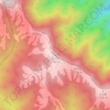
Name: 1142 topographic map, elevation, terrain.
Location: 1142, 강릉시, Gangwon, Coreia do Sul (37.75007 128.72476 37.75017 128.72486)
Average elevation: 973 m
Minimum elevation: 578 m
Maximum elevation: 1,154 m
Other topographic maps
Click on a map to view its topography, its elevation and its terrain.