
Hrafntinnusker topographic map
Interactive map
Click on the map to display elevation.
About this map
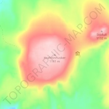
Name: Hrafntinnusker topographic map, elevation, terrain.
Location: Hrafntinnusker, Rangárþing ytra, Southern Region, Iceland (63.93293 -19.18089 63.93303 -19.18079)
Average elevation: 1,021 m
Minimum elevation: 907 m
Maximum elevation: 1,125 m
Other topographic maps
Click on a map to view its topography, its elevation and its terrain.