
Den Hool topographic map
Click on the map to display elevation.
About this map
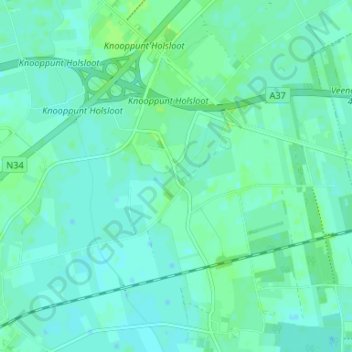
Name: Den Hool topographic map, elevation, terrain.
Average elevation: 13 m
Minimum elevation: 9 m
Maximum elevation: 18 m
Other topographic maps
Click on a map to view its topography, its elevation and its terrain.
Zwinderen
Nederland > Drenthe > Coevorden
Bronnen vermelden: in Suinre (1217), de Swinre (1276), Swijnre (1295), Zwynderen (1527), Swinder (1811-13). De plaatsnaam is samengesteld uit : a) swin, zwin = waterloop, geul, kreek (afgeleid van swinan = verdwijnen, verzwinden) en horne (= hoek) of b) swin en heri, hara = met bos begroeide hoogte. De…
Average elevation: 14 m
Schoonoord
Nederland > Drenthe > Coevorden
Schoonoord is rond 1850 ontstaan op een zandige hoogte aan de rand van het Odoornerveen. Kort daarna werd het Oranjekanaal gegraven. Daarlangs, en aan de haaks erop gelegen weg Coevorden - Assen, kwam een zich snel uitbreidend lintdorp van in eerste instantie vooral plaggenhutten tot stand. In 1856 telde het…
Average elevation: 19 m