
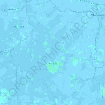
Werdum topographic map
Interactive map
Click on the map to display elevation.
About this map
Name: Werdum topographic map, elevation, terrain.
Average elevation: -1 m
Minimum elevation: -4 m
Maximum elevation: 3 m
Other topographic maps
Click on a map to view its topography, its elevation and its terrain.
Wold
Germany > Lower Saxony > Landkreis Wittmund > Holtgast
Wold, Holtgast, Samtgemeinde Esens, Landkreis Wittmund, Lower Saxony, 26427, Germany
Average elevation: 2 m
Spiekeroog
Germany > Lower Saxony > Landkreis Wittmund
Spiekeroog, Landkreis Wittmund, Lower Saxony, 26474, Germany
Average elevation: 0 m
Friedeburg
Germany > Lower Saxony > Landkreis Wittmund
Friedeburg, Landkreis Wittmund, Lower Saxony, 26446, Germany
Average elevation: 7 m
Esens
Germany > Lower Saxony > Landkreis Wittmund
Esens, Samtgemeinde Esens, Landkreis Wittmund, Lower Saxony, Germany
Average elevation: 1 m
Spiekeroog
Germany > Lower Saxony > Landkreis Wittmund > Spiekeroog
Spiekeroog, Landkreis Wittmund, Lower Saxony, 26474, Germany
Average elevation: 0 m