
White Hall topographic map
Interactive map
Click on the map to display elevation.
About this map
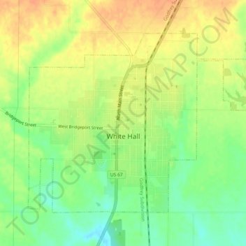
Name: White Hall topographic map, elevation, terrain.
Location: White Hall, Greene County, Illinois, 62092, United States (39.42590 -90.42005 39.45163 -90.37463)
Average elevation: 176 m
Minimum elevation: 154 m
Maximum elevation: 194 m
Other topographic maps
Click on a map to view its topography, its elevation and its terrain.