
Hlotse topographic map
Interactive map
Click on the map to display elevation.
About this map
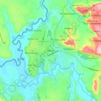
Name: Hlotse topographic map, elevation, terrain.
Location: Hlotse, Leribe District, 300, Lesotho (-28.90689 28.01794 -28.82689 28.09794)
Average elevation: 1,628 m
Minimum elevation: 1,550 m
Maximum elevation: 1,854 m
Other topographic maps
Click on a map to view its topography, its elevation and its terrain.