
Yumrukaya topographic map
Interactive map
Click on the map to display elevation.
About this map
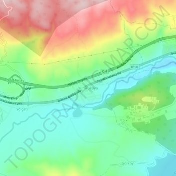
Name: Yumrukaya topographic map, elevation, terrain.
Location: Yumrukaya, Bolu, Black Sea Region, 14030, Turkey (40.70054 31.47773 40.74054 31.51773)
Average elevation: 866 m
Minimum elevation: 757 m
Maximum elevation: 1,049 m
Other topographic maps
Click on a map to view its topography, its elevation and its terrain.