
Utas topographic map
Interactive map
Click on the map to display elevation.
About this map
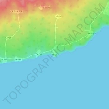
Name: Utas topographic map, elevation, terrain.
Location: Utas, Malampa, Vanuatu (-16.37372 168.25296 -16.33372 168.29296)
Average elevation: 23 m
Minimum elevation: 0 m
Maximum elevation: 93 m
Other topographic maps
Click on a map to view its topography, its elevation and its terrain.
Wuro
Vanuatu > Malampa > Craig Cove (Fali)
Wuro, Craig Cove (Fali), Malampa, Vanuatu
Average elevation: 41 m