
傅洼 topographic map
Interactive map
Click on the map to display elevation.
About this map
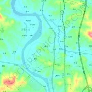
Name: 傅洼 topographic map, elevation, terrain.
Location: 傅洼, 新县, 息县, 信阳市, 河南省, 中国 (31.72095 114.85444 31.76095 114.89444)
Average elevation: 88 m
Minimum elevation: 59 m
Maximum elevation: 176 m
Other topographic maps
Click on a map to view its topography, its elevation and its terrain.